January 26, 2026
⚠️ Major Travel Hazards Ahead: What Drivers Need to Know

Winter Safety
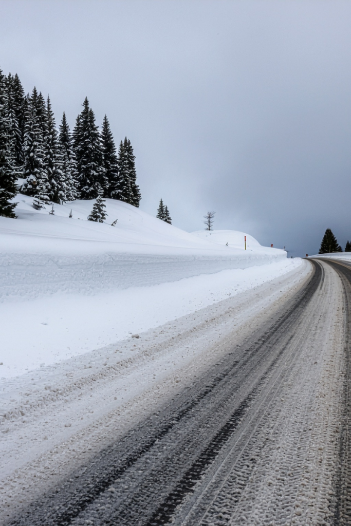
As winter weather systems move across the country, millions of drivers from the Northeast to the Pacific Northwest are encountering snow, ice, and heavy rain. Whether you are commuting to work or operating a CMV across different regions, these conditions can create serious hazards on the road. Below is a clear regional breakdown of what to expect, along with essential safety tips to help you navigate winter driving more safely.
🔴 High Impact Zones: Northeast & Mid‑Atlantic
Northeast & Appalachian Regions
A powerful winter storm is moving through the Northeast, bringing heavy snow on Monday before easing into lighter snowfall on Tuesday. This system will quickly cover roadways and make travel difficult, even for drivers who are familiar with winter conditions. In mountainous areas, especially throughout the Appalachians, travel may become dangerous because of steep grades, drifting snow, and rapidly changing visibility.
Key Impacts:
- Fast snow accumulation on highways and rural roads
- Reduced visibility during periods of heavy snow
- Risky travel on mountain passes and higher elevations
Drivers in this region should expect delays and consider avoiding travel during peak snowfall.

Mid‑Atlantic \ South
Farther south, after a weekend of dangerous freezing rain, sleet, and cold rain, temperatures are now hovering at or below freezing. These conditions are making it very difficult to clear ice from the roads. While additional snowfall is expected to be minimal, ice remains the main hazard, especially in areas where ground temperatures continue to stay below freezing.
Key Impacts:
- Black ice forming on untreated roadways
- Bridges and overpasses freezing first
- Increased risk of spin‑outs, loss of control, and multi‑vehicle accidents
If you must drive, use extreme caution and keep speeds significantly below the posted limit.
🟠 Moderate Impact Areas: Great Lakes & Plains
Great Lakes Region
Drivers around the Great Lakes should prepare for classic lake effect snow starting on Monday and strengthening into lake enhanced snowfall from Monday night into Tuesday. These narrow bands can create sudden bursts of heavy snow, quickly turning clear skies into whiteout conditions with little warning.
Key Impacts:
- Short‑notice “whiteout” conditions
- Quick accumulation in localized areas
- Difficult travel on roads downwind of the lakes
Even short drives can become hazardous when lake‑effect bands set up over major highways.
Central & Southern High Plains
Over the High Plains, upslope snow will continue through early Monday morning. While this system is not as intense as the storm affecting the Northeast, it can still create slick areas on the roads, especially for drivers heading out early in the morning.
Key Impacts:
- Reduced traction on untreated roads
- Slippery conditions during the Monday morning commute
- Occasional reduced visibility in steady snow
🟡 Wet Weather Zones: Southeast & Pacific Northwest
Southeast Coast & Florida
Rain will move across the Southeast on Monday morning, with showers continuing across Florida through the afternoon. Temperatures will remain warm enough to prevent any freezing, but wet pavement can still create hazardous driving conditions.
Key Impacts:
- Increased hydroplaning risk at higher speeds
- Reduced braking efficiency on slick roads
- Lower visibility during heavy or steady rain
Drivers should slow down and avoid using cruise control in wet conditions.

Pacific Northwest
Rain will move across the Southeast on Monday morning, with showers continuing across Florida through the afternoon. Temperatures will remain warm enough to prevent any freezing, but wet pavement can still create hazardous driving conditions.
Key Impacts:
- Reduced visibility from rain and road spray
- Standing water in low‑lying areas
- Prolonged wet‑road braking distances
Expect slower travel and heavier congestion during evening commutes. Allow extra travel time and watch for patches of compacted snow.
🛑 Essential Winter Safety Driving Tips
No matter where you’re traveling, winter weather demands a different approach behind the wheel. Here are some key safety actions every driver should take:
1. Slow Down
Speed limits are designed for dry conditions. Snow, ice, and rain reduce traction, making it harder to stop and easier to slide.
2. Increase Following Distance
Doubling your normal following distance provides more room to react—and more time to stop if the vehicle ahead brakes suddenly.
3. Use Your Headlights
Turning on headlights (not high beams) improves visibility and helps other drivers see you through snow and rain.
4. Check Wipers & Fluids
Before hitting the road, ensure your windshield washer fluid is rated for freezing temperatures and your wipers are in good condition.
Final Thoughts
Winter weather can be unpredictable, and even minor storms can create serious driving hazards. Staying aware of regional conditions, and adjusting your driving habits, can make all the difference in reaching your destination safely.
Stay alert, stay prepared, and if conditions look dangerous, consider delaying travel until the storm passes.
Similar Articles

March 27
Celebrating Excellence: Carlos Espino Named Owner Operator of the Month
Celebrating Excellence: Carlos Espino Named Owner Operator of the Month Tennessee Steel Haulers is proud to recognize Carlos Espino as our Owner Operator of the Month. Carlos exemplifies the responsibility, faith, and professionalism that define …
February 18
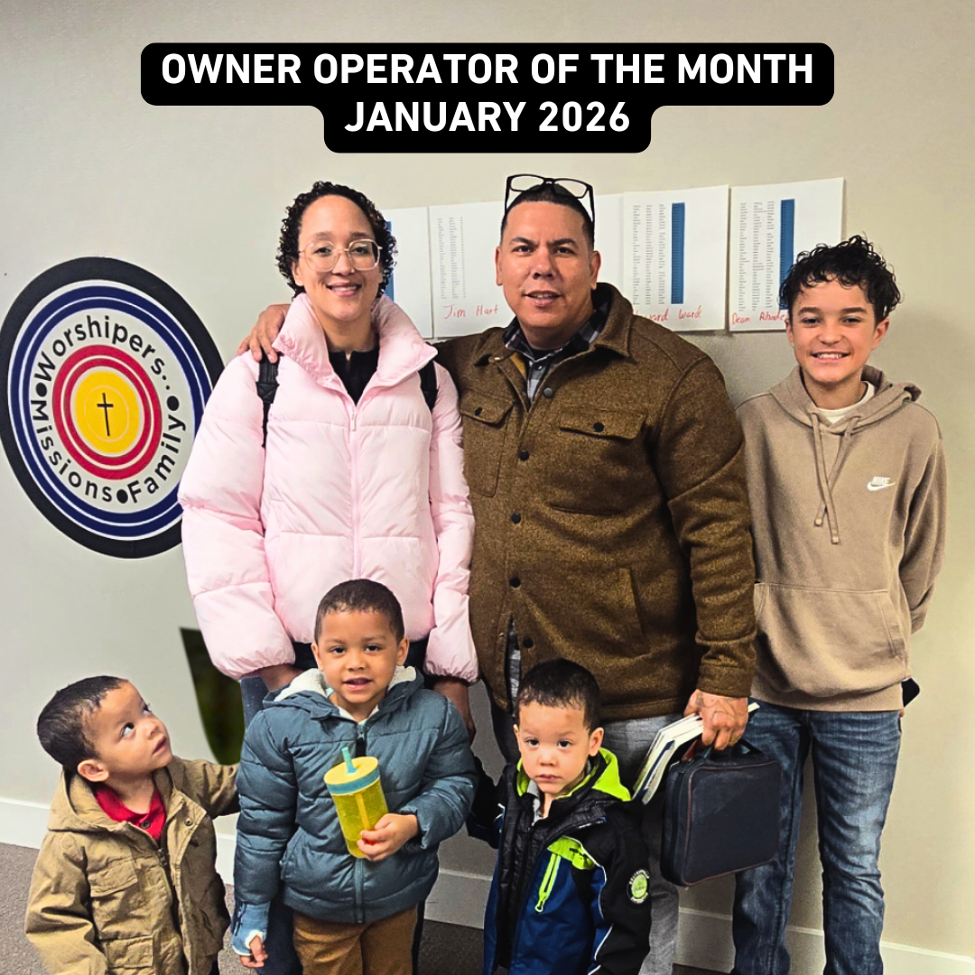
Celebrating Excellence: Michael Bortello Named January 2026 Owner Operator of the Month
Tennessee Steel Haulers is proud to recognize Michael Bortello as our January 2026 Owner Operator of the Month. Michael represents the dedication, professionalism, and work ethic that define top tier owner operators in the trucking …

August 21
Celebrating Excellence: Fredy Medrano Named July 2025 Owner Operator of the Month
We’re proud to spotlight Fredy Medrano as our Owner Operator of the Month for July 2025! Fredy’s commitment to professionalism, responsibility, and strong communication has made him a standout member of the TSH team. Fredy …